Resources

Connecting a farm
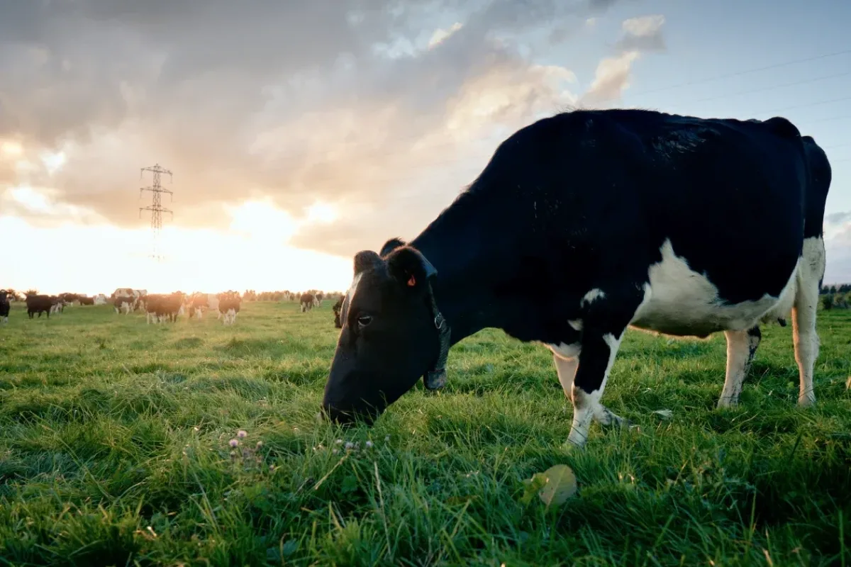
Will Bowden, a fifth-generation farmer in Tasmania, leveraged irrigation and digital tools to remotely control 17 pivots, pumps, and reservoirs, reducing downtime and improving water management.
Case Studies
Name
John Ramsay, 'Ratho'
Location
Bothwell
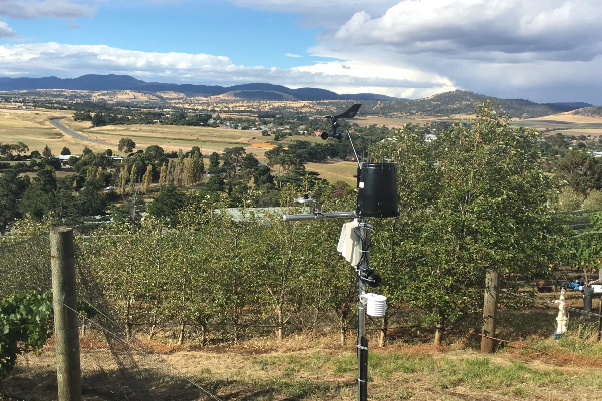
John Ramsay manages ‘Ratho,’ an 1,800-hectare irrigated cropping and livestock farm at Bothwell, Tasmania, with 550 hectares under crops including potatoes, poppies, carrot seed, cereals, clover, and brassicas, alongside sheep grazing. The farm has highly variable soils, from sand to clay and stoney red soil, and uses two variable rate irrigation (VRI) pivots.
To improve water management and reduce waterlogging risk in sensitive crops, John implemented a precision surface drainage system based on digital mapping that integrates with irrigation and can be maintained efficiently using farm resources.
*This project was delivered by the Tasmanian Agricultural Productivity Group (TAPG) and supported through funding from the Strategic Industry partnership Program (SIPP).
Waterlogging was reduced, improving the resilience and yield of sensitive crops such as potatoes.
Vehicle and irrigator bogging was minimised, lowering labour demands and improving convenience during the irrigation season.
The drainage plan data also supported other management activities, including risk mapping.
John described the drainage investment as obvious and essential, delivering clear benefits to yield, efficiency, and ease of operation.
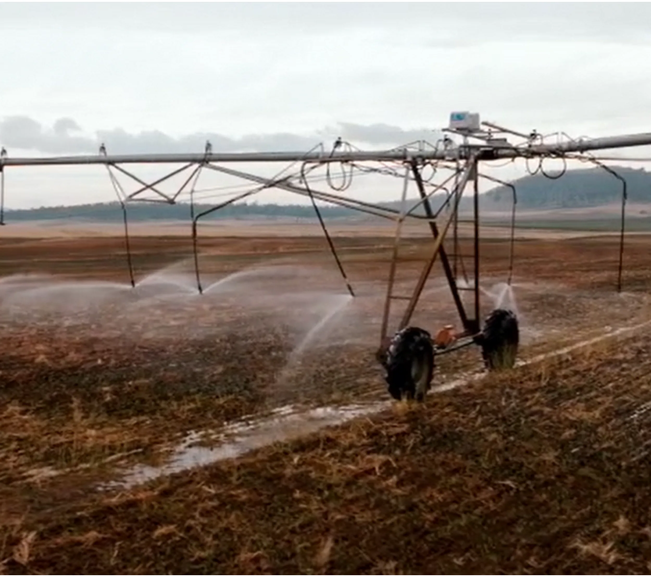
Initial costs included ~$750/paddock for drainage planning, and $30/ha for EM38 elevation mapping. The Valley pivot spans 730 m and irrigates an area of 180 ha.
Drains were installed with grader using farm resources, reducing additional labour and equipment needs. Similarly, guideance lines uploaded to JD Ops Centre so maintenance were able to be done using farm resouces. A local contractor was used where an excavator was required.